
Wattle Hill Journal shares practical, down-to-earth guidance on rural heritage and oast house living in the kent and sussex weald for readers across the UK.
- 0123456789
- Angle Bd Abdelmoumen & rue soumaya, Résidence
- [email protected]
Wattle Hill Journal shares practical, down-to-earth guidance on rural heritage and oast house living in the kent and sussex weald for readers across the UK.
 By Oliver Merriman
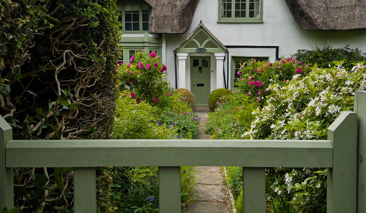
The Kent and Sussex Weald carries one of the densest networks of public rights of way in the country — thousands of miles of trackways that once linked market towns, ironworks, hop gardens and the oast houses that still punctuate the skyline. Many of these routes began as droves, church paths and farm access lanes, and they survive today because they were recorded on the definitive map before the countryside changed around them.
When you walk a footpath through a Kentish orchard or along a Sussex drove, you are using an ancient legal right rather than a favour. Understanding what that right allows — and what it does not — makes for better walking, kinder farming, and a network that stays open for the next generation.
The label attached to a route tells you precisely who may use it. There are four main classes in England and Wales, and they are not interchangeable.
An Ordnance Survey Explorer map at 1:25,000 is the walker’s best friend, and its legend distinguishes each class of route clearly. Treat the map as a guide, though — the legal record is the definitive map and statement held by the county council, which is the document that counts if there is ever a dispute.
On the ground, look for waymarkers: yellow arrows for footpaths, blue for bridleways, and red for byways. A disc or arrow with no county colour may simply be a permissive route. Where a path crosses a field, the line on the map is what matters, not the muddiest visible track — crops, ploughing and livestock all shift the trodden ground from season to season. Footpaths across arable land must legally be reinstated within a fortnight of ploughing, so if you meet a freshly turned field with no line, check the map and walk the correct route as closely as you reasonably can.
The Weald’s older paths are furnished with the furniture of a working landscape: oak stiles, kissing gates, footbridges over ditches, and the occasional ladder stile over a stone wall. A few practical habits keep everyone happy.
Cattle, sheep and horses are part of the scene, not an interruption to it. Walk quietly, give animals a wide berth, and never walk between a cow and her calf. If cattle approach, keep calm, move steadily to the field edge and be prepared to let your dog off the lead — a dog running free is far safer than one tangled at your side. A farmer may lawfully shoot a dog worrying livestock, and the distress caused to both animal and owner is enormous.
In spring and early summer, keep dogs on a lead near ground-nesting birds and on any path crossing heathland or open access land. Bag and carry dog waste away; leaving it in a hedge or hanging from a branch is worse than useless.
Rights of way survive through use. A path walked regularly is a path a landowner knows to keep clear, and the definitive map is amended over time as routes are recorded, diverted or created. If you notice an obstruction, a locked gate where a stile should be, or a waymarker missing for years, a short email to the rights of way team at the county council does more good than any amount of grumbling at a gate.
Walk with an eye to the seasons, too. Pheasant shoots close some paths for a few days in winter, forestry operations close others, and the Wealden clay can make February routes almost impassable. Plan around it, wear the right boots, and take your time. These are working landscapes as well as beautiful ones, and the quiet pleasure of a hedged footpath leading past an oast house at dusk is only available because walkers, farmers and councils have kept the bargain for generations.


We are not gonna make spamming
